Project Details
Client
JC Cantave
Year
2025
Services
- React
- TanStack Start
- Strapi CMS
- TypeScript
- Shadcn UI
Interested in a similar project?
Get in touch →
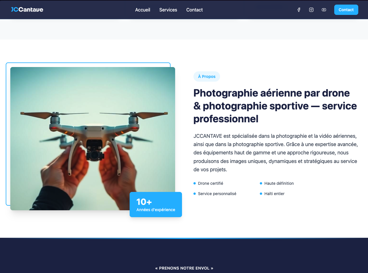
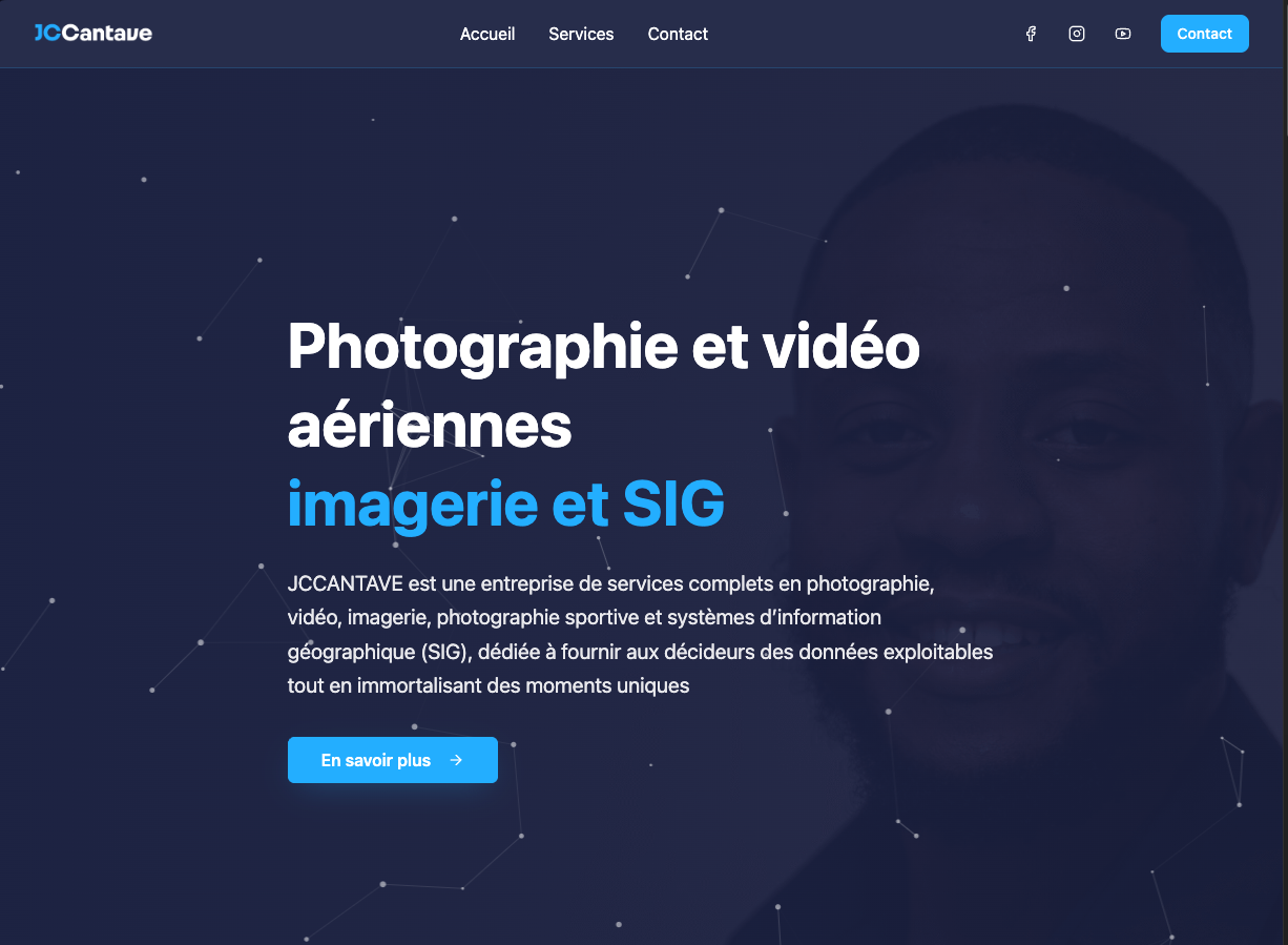
Project Overview
JC Cantave is a premier provider of aerial photography, drone videography, and Geographic Information Systems (GIS) services in Haiti. The platform serves as a professional showcase for high-quality imagery and a gateway for clients to request specialized surveying and mapping services.
The Challenge
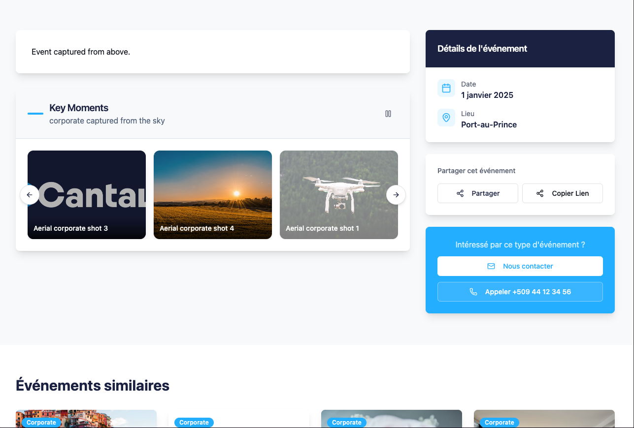
The client needed a digital presence that matched the high precision and artistic quality of their work. The website required the ability to display high-resolution galleries without compromising performance, while also effectively communicating complex technical services like GIS mapping to potential business clients.
The Solution
We developed a high-performance, visually stunning website using React and TanStack Start.
- Content Management: Integrated Strapi CMS to allow the client to easily update portfolios and service offerings.
- UI/UX: Utilized Shadcn UI components for a polished, professional look that builds trust with enterprise clients.
- Performance: Optimized image loading strategies ensure that even image-heavy gallery pages load instantly.
Gallery